

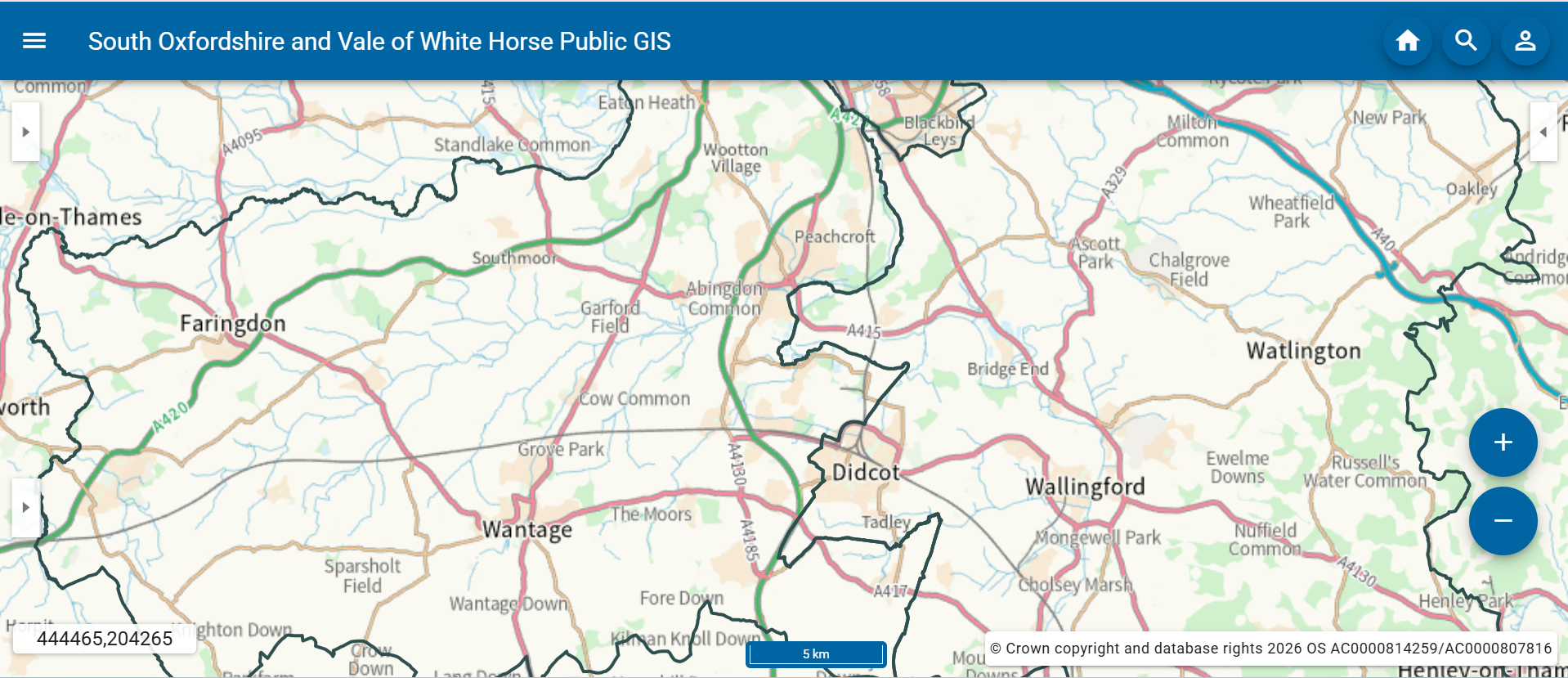
Maps of public data
Search our interactive map for information and data available on a specific area – for example, you can check if there are any listed buildings in a particular street, or for a detailed history of planning applications associated with a certain address.
You can also use it to see land maintained by South Oxfordshire, whether it’s our own or land we manage for other organisations.
See below for the link, our user guides and other information or simply click the button below, read the Terms and Conditions, and start using our interactive mapping system.
You can find the information on the following subjects:
- CIL Notices (a statutory document issued during the Community Infrastructure Levy (CIL) process for building and development)
- Building Preservation Notices
- Conservation Areas
- Green Belt Areas
- Grounds Maintenance – eg land that our parks team manages
- Listed Buildings
- Local Nature Reserves
- Local Plans
- Neighbourhood Plans
- Planning Applications
- Wildflower Areas
How to use the map
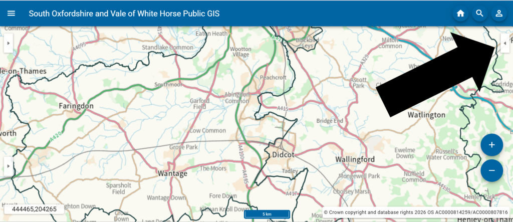
To view specific information click the box in the right hand corner.
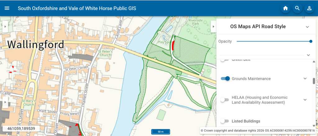
Browse the available categories.
Use the toggle switch or eye icon to turn layers on or off.
The selected information will appear on the map – for some types of information, you can then click on the map to reveal further information that appears in the top-left corner of the screen.
Contact us - Customer services

01235 422422
(Text phone users add 18001 before dialling)


South Oxfordshire District Council
Abbey House
Abbey Close
Abingdon
OX14 3JE


